Startup Jedi
We talk to startups and investors, you get the value.

Startup Jedi
We talk to startups and investors, you get the value.
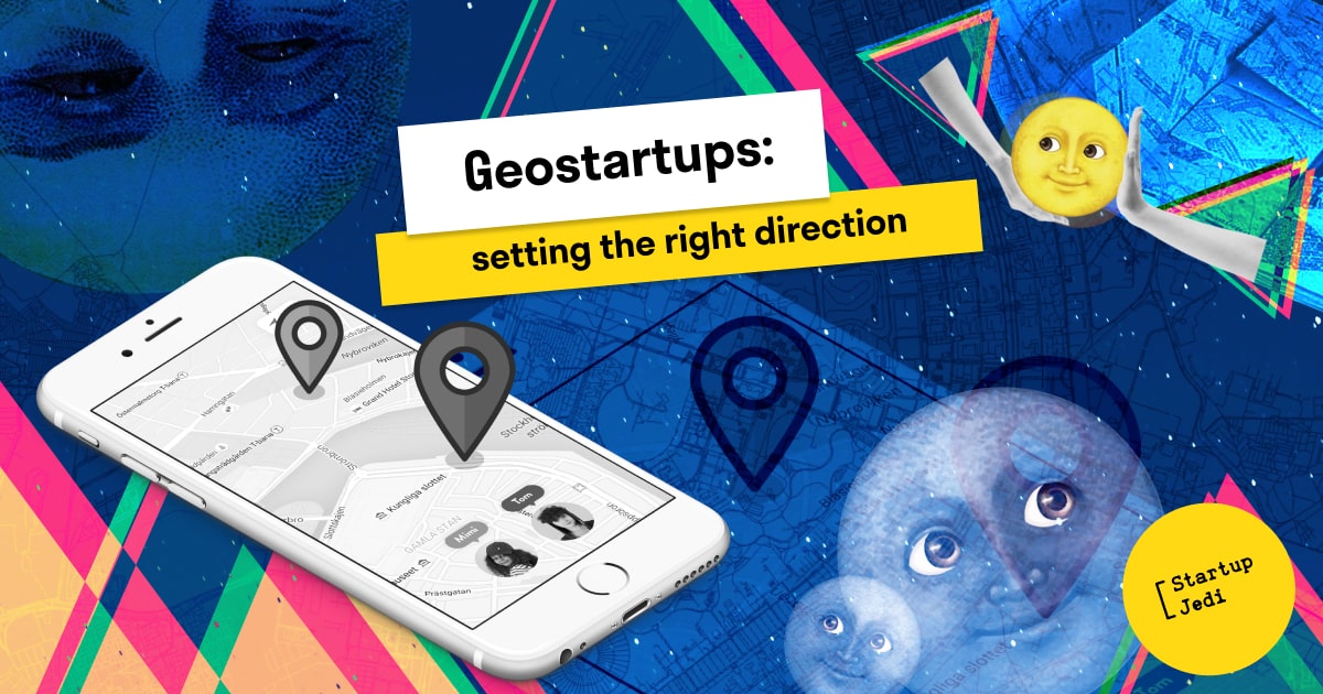
At the mention of maps (the geographical ones), the majority of our readers would think about Google Maps. For sure, a techno-giant from the Valley has proved itself as a golden standard in many aspects of our digital life. With this, the world continues to create and develop alternative solutions, even when it seems that the market is already divided between the big players. Today, in our article we will talk about the abundance of startups that somehow are connected with maps and geolocation. Apparently, the list is far from complete but we will try to throw as much light on the topic as possible.
In a fit of nostalgia, someone might remember a project that was one of the first to allow users to report their whereabouts. It was known by its acronym 4sq and its full name is Foursquare. The project was launched in March 2009 in the United States and allowed its users to create geolocations (mainly, different kinds of facilities), as well as, to check-in there. At the same time, at the early stage of the product, it was possible to check-in at places not only from the app but also using an SMS message (it did not work in all countries).
The authors of the projects were Dennis Crowley and Naveen Selvadurai, and Dennis had the experience of developing Dodgeball, a similar app that was a part of a thesis paper in New York University. In 2014, the company launched Swarm, a separate app for check-in’s, and Foгrsquare was left on the market as a city guidebook, competing with apps like Yelp or TripAdvisor. The project still exists nowadays and you still can check-in and compete with your friends.
From an app that allows you to check-in in real places, let's talk about a service that allows you to visit places chosen by fate. We’re talking about GeoGuessr, an online game based on StreetView from Google Maps for paid users and Mapillary for “non-members”, and requires its users to guess the places that are currently shown. Anton Wallen, a Swedish developer, posted the game to the Google Chrome Experiment on May 10, 2013. After 8 years, you can still "teleport" to a random corner of the world and try to guess where the algorithm threw you.
If you want some real things, then look at a startup that prints maps on T-shirts. MapOnShirt started by printing maps on T-shirts, and today you can order mugs, T-shirts, socks and even pillows with a map of your area, city or any mapped place. Each item is made individually in Riga. The project was founded by two Martins (M&M, as it is written on their website), who has been fond of orienteering since childhood, which explains their love for maps.
If you want real things, then look at a startup that prints maps on T-shirts - MapOnShirt started by printing maps on T-shirts, and today you can order mugs, T-shirts, socks and even pillows with a map of your area, city or any place in general. which is mapped. Each item is made individually in Riga. The project was founded by two Martins (M&M, as it is written on their website), who has been fond of orienteering since childhood, which explains their love for cards.
One of the main tasks of any map is to help orientate the terrain and that’s why a coordinate system was created, and it hasn’t changed for several centuries. But in the 21st century, there is a startup that has turned this conservative field upside down. Previously, in order to tell about your location, you needed to know a lot of numbers and now, all you need are three words to convey this information. We are talking about What3words startup from Great Britain, which allows you to transmit coordinates with an accuracy of 3 meters using three dictionary words by using its geocoding system (supports many coding languages — from Tamil to Norwegian, including, of course, English and Russian — for example, this article is written in a place with coordinates "tomato.alley.export").
And when you're in the mood for adventure and treasure hunting, check out Geocaching. It is another service that connects maps and games in the real world. Since May 2, 2000, when the “coarsening” of the GPS signal was cancelled, geocaches around the world have been creating and finding “caches” with other players. More than 2.5M geocaches have been published on the world's largest platform geocahcing.com and more than 6M registered users. Initially, the project was supposed to be called Geostashing, as Dave Almer from Portland called it, who offered to "play hide and seek" with his friends at an online conference, but over time the modern name of the app was fixed.
All previously mentioned startups somehow belong to products that are aimed at the end consumer. At the same time, there are a sufficient number of projects that occupy a similar niche but interact with the business or the scientific environment. We are talking about GIS systems that make it possible to analyze, edit and make decisions based on geospatial data. But if consumer products are built with a focus on UX and low cost, then GIS systems cannot boast of good UX and often have a high price tag. However, with increased competition, both factors have tended to improve over the past few years.
One of the oldest companies in this segment is Esri, a creator of ArcGIS mapping software, which was founded in 1969. One of the secrets of success, Jack Dangermond, the founder of the company, says that in 43 years of its existence, this company has never attracted venture funding, which allowed it to focus on what customers need and not on what investors want. The project started with $1000 and a belief in the success of the enterprise, and today Esri has 9,000 employees worldwide and $912M in revenue. At the same time, due to the conservatism of the strategy, the company has never had to massively fire employees in its entire history.
Another infrastructure project for map services is CARTO (formerly CartoBD). The main goal of this project is to analyze and visualize data and user locations for business decision making. Today, CARTO is one of the world's leading geolocation platforms, enabling organizations to leverage spatial data and analysis for more efficient delivery routes, better behavioural marketing, strategic store placement and more. The company was founded in 2012 in Madrid, at the peak of the country's deepest economic crisis, and today has grown to a global company with headquarters in New York and offices in Madrid, Seville and London, employing more than 150 experts and GIS developers. The founders of the project, Javier de la Torre and Sergio Alvarez, who had previously worked on environmental projects, decided to improve existing technologies for large-scale analysis of location data in order not only to understand environmental issues such as biodiversity loss or climate change but also for businesses in other industries such as real estate, financial services, telecommunications, government and many others.
Mapbox project was founded in 2010 on the American continent and has become the provider of personalized online maps for the above-mentioned Foursquare, as well as Lonely Planet, Snapchat and Financial Times. As of October 2020, the company was valued at more than $1B, which gave it the right to wear the title of a "unicorn". Co-founders Peter Sirota and Eric Gundersen developed a project on bootstrapping until 2013 (a way of financing small firms through the acquisition and use of resources without increasing equity capital from traditional sources or borrowing funds from banks — Startup Jedi) and grant financing: to create an iD editor for OpenStreetMap they raised a $375000 grant from the Knight Foundation, and only then they raised the first round of Mapbox funding of $10M from Foundry Group.

Facebook: facebook.com/StartupJedi/
Telegram: t.me/Startup_Jedi
Twitter: twitter.com/startup_jedi


Comments